
A lot of reservoirs and dams can be found within the Pampanga River Basin (PRB). You […]

Land cover plays a major role in the hydrology of watersheds. As we have learned from […]

The watershed of Laguna de Bay is subdivided into 24 subbasins (see https://bit.ly/LLSubbasins for the list […]

We have learned from our previous post (bit.ly/PRHydrodynamics) that Pasig River connects Manila Bay and Laguna […]

The Meycauayan River is one of the major rivers that drain to Manila Bay. It tansports […]

The west side of Manila Bay is characterized by a mountainous topography, with Mt. Natib, Mt. […]

Hydrologic models are used to understand how a watershed responds when subjected to rainfall and to know how water moves within the watershed.
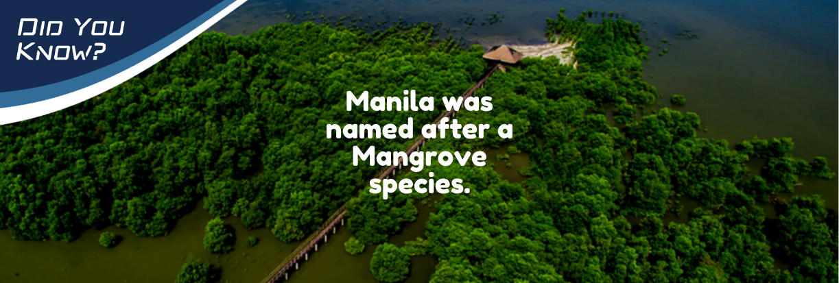
The word "Manila" originated from the phrase “may nilad” or “there is nilad” with nilad referring to the mangrove species of Scyphiphora hydrophylacea.

The capacity of Metro Manila’s main raw water source is only designed to meet its projected […]

The Pampanga River Basin (PRB) houses more than 10 dams and reservoirs that serve a variety […]


 Room 235, National Hydraulic Research Center,
 esmart.im4manilabay@gmail.com