
The watershed of Laguna de Bay is subdivided into 24 subbasins (see https://bit.ly/LLSubbasins for the list […]

We have learned from our previous post (bit.ly/PRHydrodynamics) that Pasig River connects Manila Bay and Laguna […]

The Meycauayan River is one of the major rivers that drain to Manila Bay. It tansports […]

The west side of Manila Bay is characterized by a mountainous topography, with Mt. Natib, Mt. […]
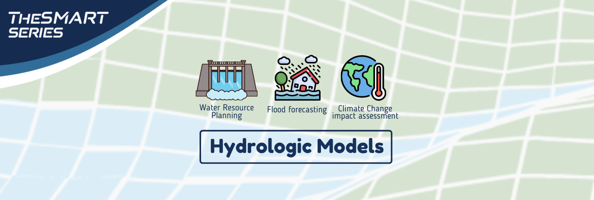
Hydrologic models are used to understand how a watershed responds when subjected to rainfall and to know how water moves within the watershed.


 Room 235, National Hydraulic Research Center,
 esmart.im4manilabay@gmail.com